1976 Cessna CE-182P N1311S (TAA)
N1311S Aircraft Rental Information
Rental Rate: $195.00 Per Hour (Wet)
***Please read the aircraft checkout requirements at the bottom of this page.***
Equipment List:
- IFR Certified: YES
- Technically Advanced Airplane (TAA Certified)
- GTN750Xi GPS/Nav/Comm
- G500TXi PFD/MFD with Garmin engine monitoring EIS and synthetic vision
- GI275 backup
- GNC255 Second Nav/Comm,
- GFC500 Autopilot with SmartGlide, Electronic Stability Protection
- Sirius XM weather and entertainment, Telligence voice commands
- Bluetooth connectivity tablet to panel, Power outlets for tablets front and rear, complimentary headphones for passengers.
N1311S Weight & Balance Data
Last Performed: 10/22/2021. All Performance data should be reviewed with the POH and related documents.| Basic Empty Weight lbs. | ARM (Inches) | MOMENT | MAX Gross Weight | Useful load/ LBS. | Tanks size/ Useable fuel |
|---|---|---|---|---|---|
| 1911.00 lbs. | 36.4 in | 69627.00 in/lbs. | 2950 lbs. | 1039.0 lbs. | 80 / 76 Gal. Long Range Tanks |
N1311S Compass Correction Data
| For Magnetic Heading: | N | 30 | 60 | E | 120 | 150 | S | 210 | 240 | W | 300 | 330 |
|---|---|---|---|---|---|---|---|---|---|---|---|---|
| Steer (CH): | 359 | 30 | 60 | 89 | 120 | 149 | 179 | 210 | 240 | 270 | 300 | 330 |
Rental Checkout Requirements:
- For someone with no complex or high-performance time:
- Total time minimum – 100 hours PIC.
- Minimum 5 hours dual in 1311S with emphasis on engine management, quality landings and avionics knowledge.
- Completion of both aircraft and avionics tests.
- For someone with complex and/or high-performance time and >100 total hours PIC:
- Dual time at the discretion of the instructor with emphasis on quality landings and avionics knowledge. If instrument rated, knowledge of IFR avionics, instrument approaches and coupled autopilot instrument approaches.
- Completion of both aircraft and avionics tests.
Additional Study Resources and Helpful Information:
- Helpful Videos for Avionics Usage
- Garmin GTN750 GPS
- https://pilotworkshop.com/gtn-nxt-lvl-dwngrade-failures/
- https://www.youtube.com/watch?v=UZV9Ku6YhPo
- https://www.youtube.com/watch?v=9oG4ADoqfgs&t=82s
- https://www.youtube.com/watch?v=waDxKjzFdXQ
- Garmin TXi 500
- https://www.youtube.com/watch?v=VrWtdWIy0aM
- SmartGlide
- https://www.youtube.com/watch?v=y3idMj6s2XE
- https://www.youtube.com/watch?v=_wvibfGjkJA
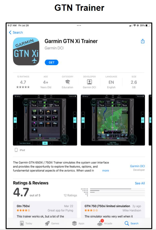
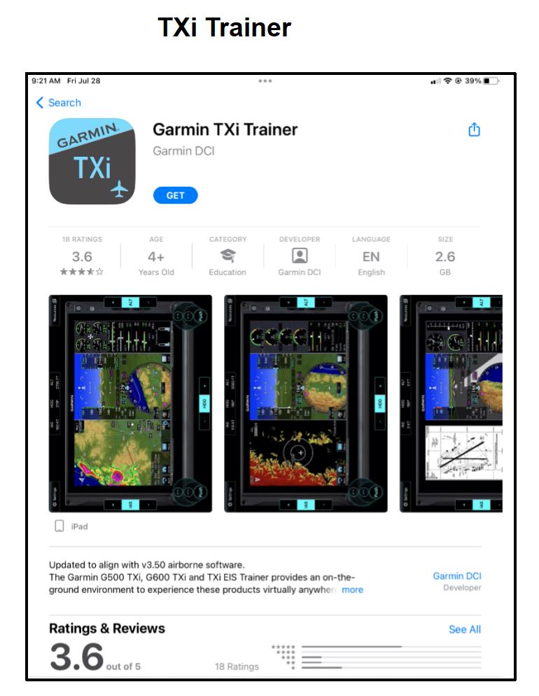
- Garmin Apps for Training – For iPad usage only (see images below). Apps help simulate avionics panel and allow pilots to become familiar with button usage and control placement. Usage of these apps is strongly encouraged prior to your training.


Smart Glide
In the event of an engine failure, the pilot needs to perform several essential tasks as soon as possible. The Smart Glide feature assists the pilot with emergency procedures and provides guidance to navigate to an airport and, with a compatible autopilot, fly the aircraft enroute.
Once the pilot activates Smart Glide by pressing the dedicated panel-mounted switch, the following actions occur:
The system will consider the aircraft’s estimated glide range (including terrain and obstacles) and recommend a suitable destination airport for landing as well as provide a list of alternative airports. It will also alert if no airport is estimated to be within glide range.
The moving map will declutter and replace the existing flight plan with a direct course to the center of an airport reachable without power while avoiding any terrain or obstacles on the selected flight path.
GTN Xi will display the configured best glide speed.
The CDI will switch to GPS mode, engage the Garmin autopilot in IAS mode at best glide speed, and activate the flight director command bars on the compatible flight display.
The selected airport’s CTAF or tower frequency will automatically load to the primary Comm standby position. If no airports are estimated to be within glide range, Emergency Frequency 121.5MHz will be loaded into the primary Comm standby position.
GTN Xi will provide a Squawk 7700 shortcut key. Selecting it will tune the compatible transponder to alert air traffic control of an emergency.
Aural alerts will announce the distance and bearing to the airport, and when to prepare for manual maneuvering and landing.
The Emergency page will display active route and longest runway details, the configured best glide speed for the aircraft, and longest runway winds (if available). The pilot determines where to land after reaching the airport environment.

